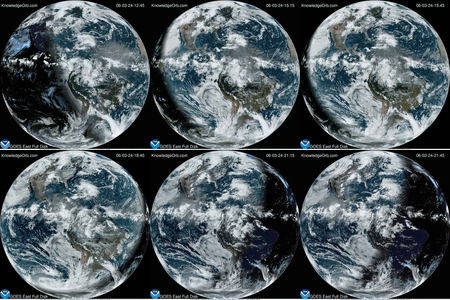
Much of the eastern United States was shut down due to a significant snow storm on February 12-13 2014. As you watch this video you can see the entire eastern U.S. covered in a blanket of clouds which dumped over a foot of snow in many areas.
This animation from GOES satellite data shows the progression of the major winter storm in the U.S. south from Feb. 10 at 1815 UTC/1:15 p.m. EST to Feb. 12 to 1845 UTC/1:45 p.m. EST.
Credit: NASA/NOAA GOES Project, Dennis Chesters


