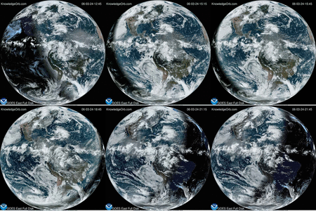
 Much of the U.S. was blanketed by this large storm in December 2012.
This NOAA’s GOES-13 satellite animation shows movement of the storm from Dec.19 through the morning of Dec. 21.
The long line of clouds is a cold front associated with a low pressure center that moves in from the west as the animation begins and reaches northern Ohio by the time the animation ends on Dec. 21 at 9:45 a.m. EST.
Credit: NASA GOES Project


