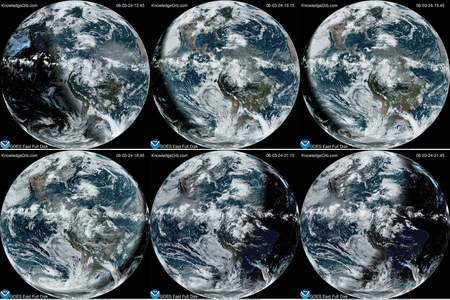
A look from space to the evolution of a habitable planet.
The Visible Paleo-Earth (VPE) project has constructed a view of what earth looked like in pre-historic times. The goal of the Visible Paleo-Earth (VPE) project is to visualize in true-colors the evolution of Earth surface from paleo-climates to today. We are using paleogeography and paleoclimate reconstructions combined with NASA satellite imagery to generate our best interpretation of the global visual appearance of Earth in the last 750 million years, as seem from space.
We are using the information of NASA Blue Marble – Next Generation to recreate the color and textures of our VPE images. The “blue marble” is the most detailed true-color image of the entire Earth to date. Using a collection of satellite-based observations, scientists and visualizers from NASA Goddard Space Flight Center stitched together months of observations of the land surface, oceans, sea ice, and clouds into a seamless, true-color mosaic of every square kilometer of our planet.
The VPE images and animations are also being generated with optical physics, including atmospheric effects, to better simulate the view from space. They can be used in studies of the terrestrial evolution of visual albedo, color, light curve, climate, and habitability. We are also working in the Visible Neo-Earth, to visualize future terrestrial scenarios including vegetation shift due to climate change.
Credit: The Planetary Habitability Laboratory @ UPR Arecibo (phl.upra.edu)


