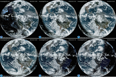
Suomi was launched in October 2011 and has also captured one of the most downloaded pictures ever taken by a NASA Satellite. The famous image of Earth known as the Blue Marble. The Satellite has now taken this image of the continental United States at night. “Nighttime light is the most interesting data that I’ve had a chance to work with,” says Chris Elvidge, who leads the Earth Observation Group at NOAA’s National Geophysical Data Center. “I’m always amazed at what city light images show us about human activity.” The image is a composite assembled from data acquired by the Suomi NPP satellite in April and October 2012. The image was made possible by the satellite’s “day-night band” of the Visible Infrared Imaging Radiometer Suite (VIIRS), which detects light in a range of wavelengths from green to near-infrared and uses filtering techniques to observe dim signals such as city lights, gas flares, auroras, wildfires and reflected moonlight.
Image Credit: NASA Earth Observatory/NOAA NGDC


