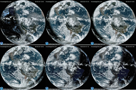
This video of satellite imagery from the GOES 13 satellite shows the life of Hurricane Sandy from its development in the Caribbean Sea on Oct. 21, through its track up the U.S. East coast and landfall. The animation continues through Oct. 31 when Sandy had weakened to a remnant low pressure area. Credit: NASA GOES Project
Hurricane Sandy slammed into the east coast of the United States in early November 2012 causing major damage. New your City had mandatory evacuations, the subways were flooded, and billions of dollars in damage was done.


We’ll be tracking our own big weather maker as the week moves along. A low pressure center is forecast to develop in Nebraska on Friday and track into Minnesota on Saturday. Temperatures on Saturday may soar well into the 60s in southern Minnesota. There could be sufficient instability to trigger thunderstorms.